Contact and Address
| Category: | Park, Point of interest, Establishment, |
|---|---|
| Address: | Unnamed Rd, Manitoba R0E 1R0, Canada |
| Postal code: | R0E 1R0 |
| Phone: | (204) 369-3157 |
| Website: | https://www.gov.mb.ca/sd/parks/park-maps-and-locations/eastern/whiteshell.html |
Location & routing
Most Recent Reviews
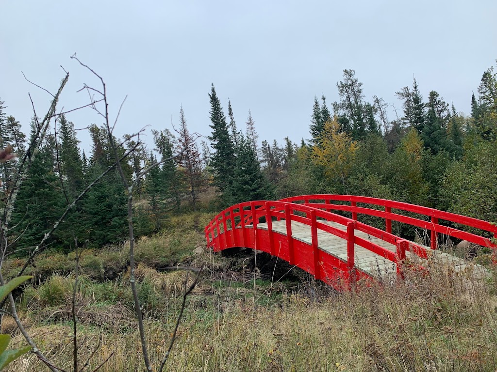
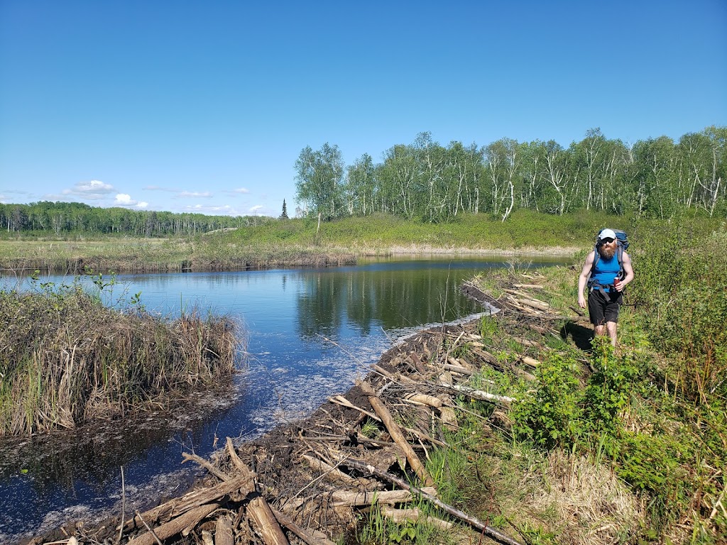
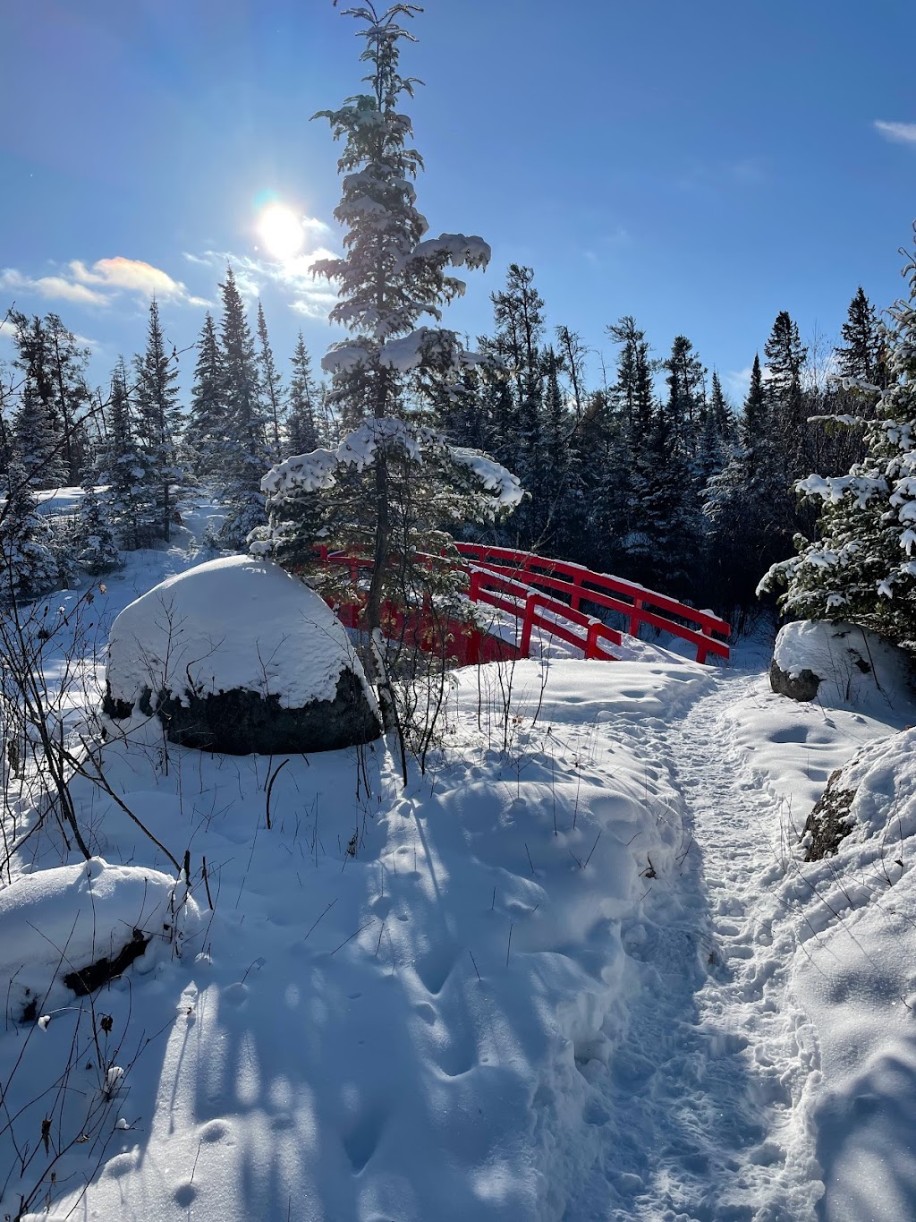
(October 24, 2022, 3:32 am)Great trail and was worth it to get the bridge, just in the begging there’s a beaver dam and it’s really muddy and you need to watch your step or you’ll sink your foot in the mud, but the rest is dry and just lost of rocks.
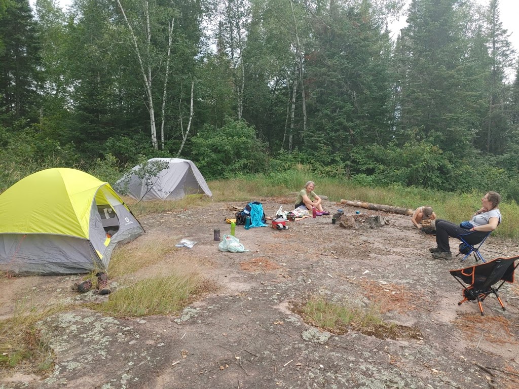
(August 8, 2022, 4:08 pm)We hiked in and camped a night. Beaver dam portion was wet with serious mud traps but the rest was good. Bugs were ok (ticks were almost non existent). Blueberries everywhere. Good camping area. Nice lake to swim in.
(August 7, 2022, 4:14 pm)Great trail, easy to navigate... lots of flies currently and the dam is quote boggy, otherwise is was a great little hike.
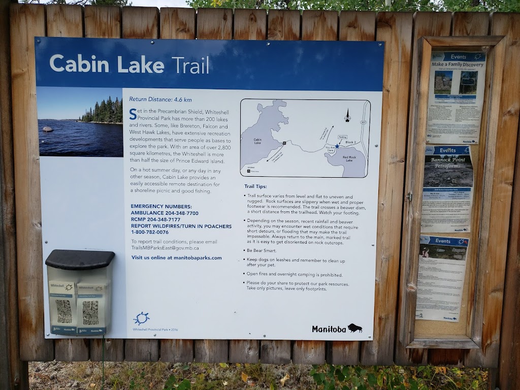
(January 4, 2022, 3:45 am)Short and sweet winter hike! Great little trail. 2.8 kms approx. to the campsites. 5.6kms total in and out. Easy walk, couple ups and downs. Took around 1.5 hours in the snow with a few stops. I’m sure Summer is even more pretty.
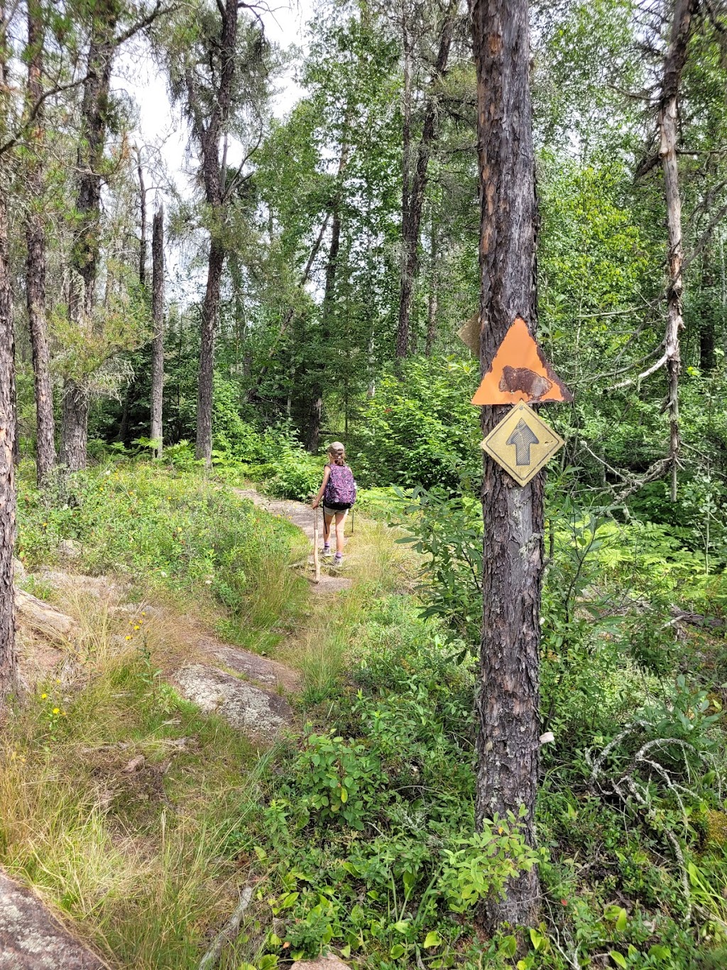
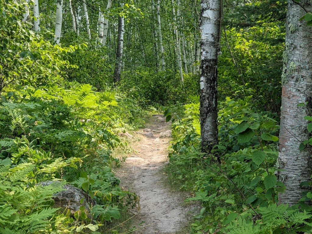
(August 22, 2019, 7:07 pm)A mixed clamber across granite rock face and mixed forest. Muddy when wet though it was fine our day. About 100 m in from the trailhead on the granite plateau is a well travelled trail descending into brush and a dead end in swamp. The *actual* trail is off to the right side (north east) and is well marked thereafter.
Watch for the section near the end where you hike across a working beaver dam. Look for chewed off branches under foot (see picture).
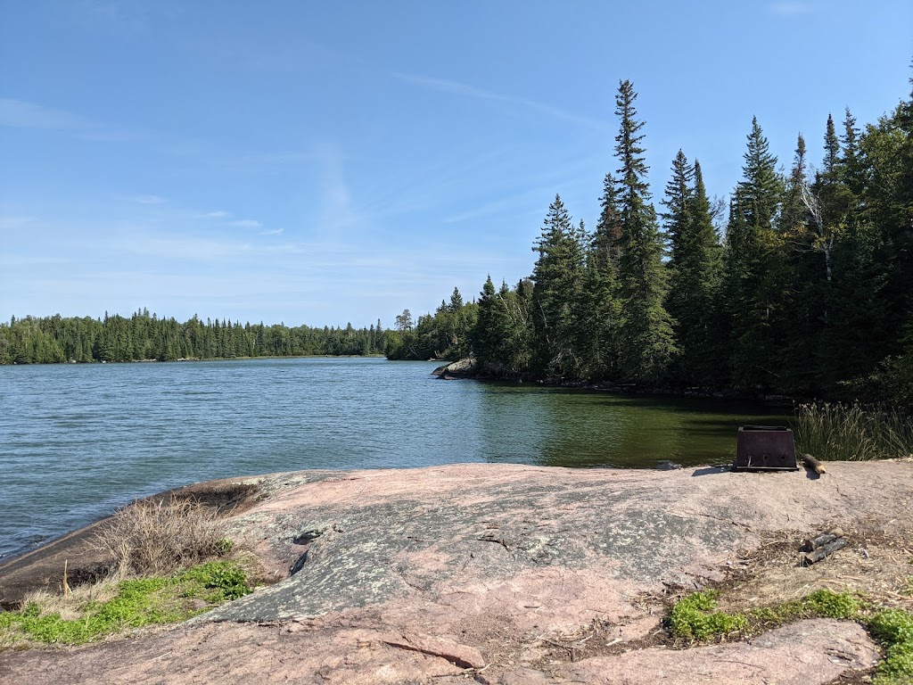
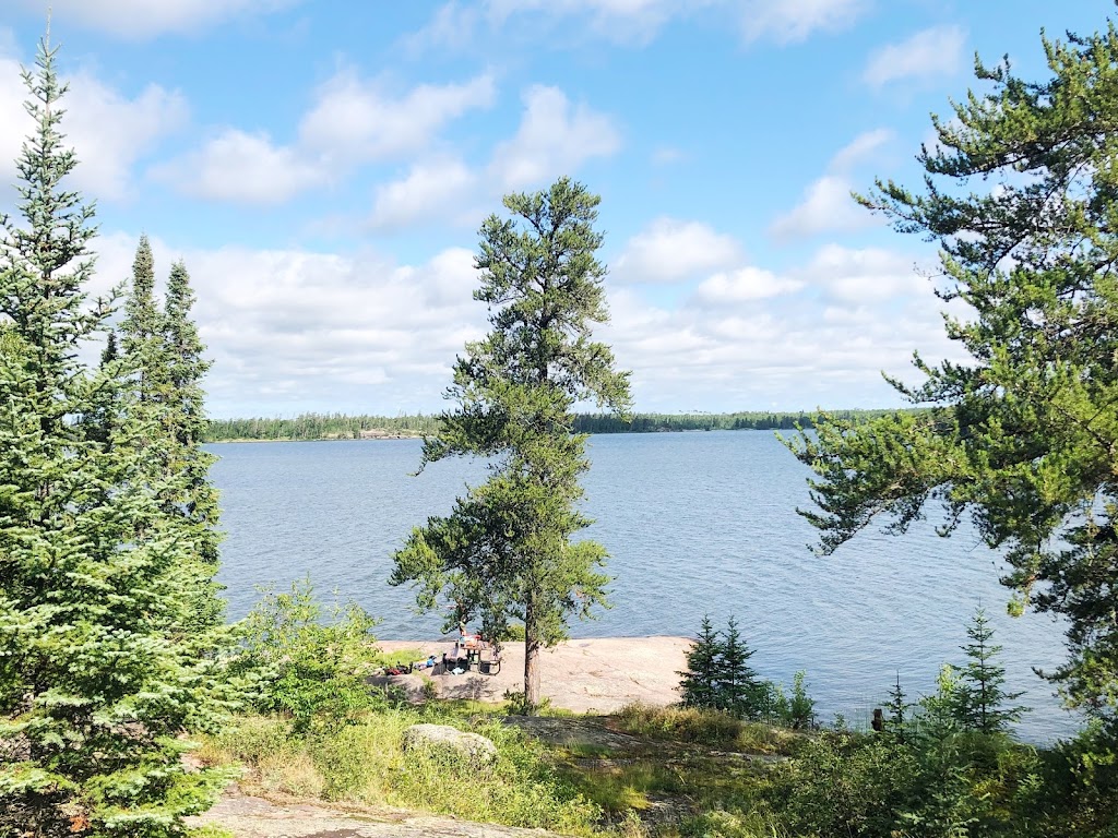
The trail ends at the lake where you might swim.There seemed no way to continue around the lake. Swamp on either side.
Photos of Cabin Lake Hiking Trail
