Mount Harvey
(3 Reviews)
49.475380, -123.200150, Greater Vancouver A, BC V0N, Canada
Contact and Address
| Category: | Park, |
|---|---|
| Address: | 49.475380, -123.200150, Greater Vancouver A, BC V0N, Canada |
Location & routing
Get Directions
Most Recent Reviews
(August 20, 2018, 4:07 am)Great place.
(July 7, 2018, 1:58 pm)Good hike, beautiful views. South trail is in good shape, even though it's not extremely popular (it's also fairly steep). North trail is poorly marked and overgrown and damp (or at least it was the way by end of June), connection to Brunnswick mountain was even more so. Should be not too bad in dry conditions though.
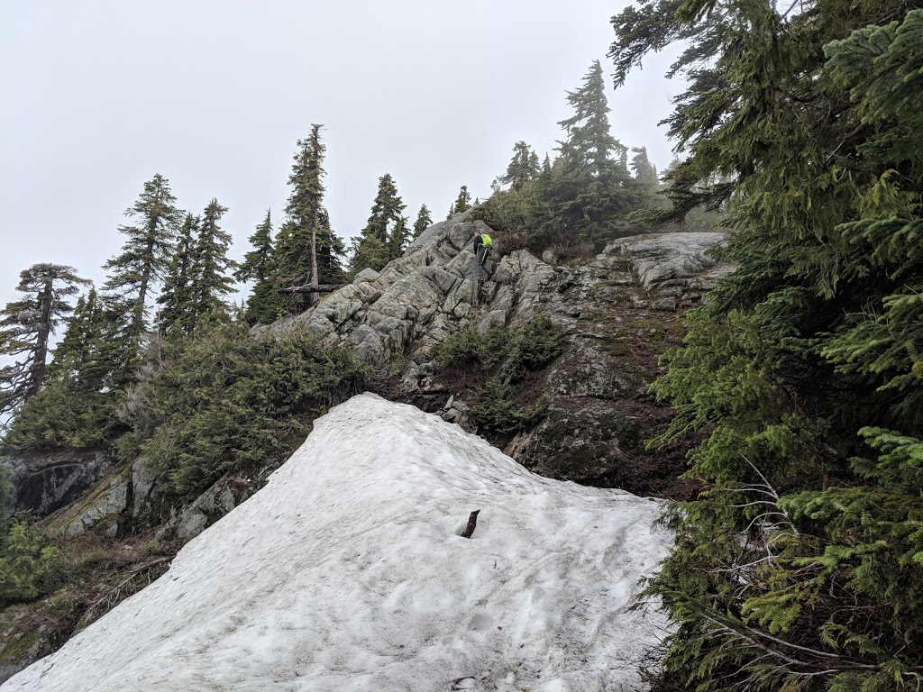
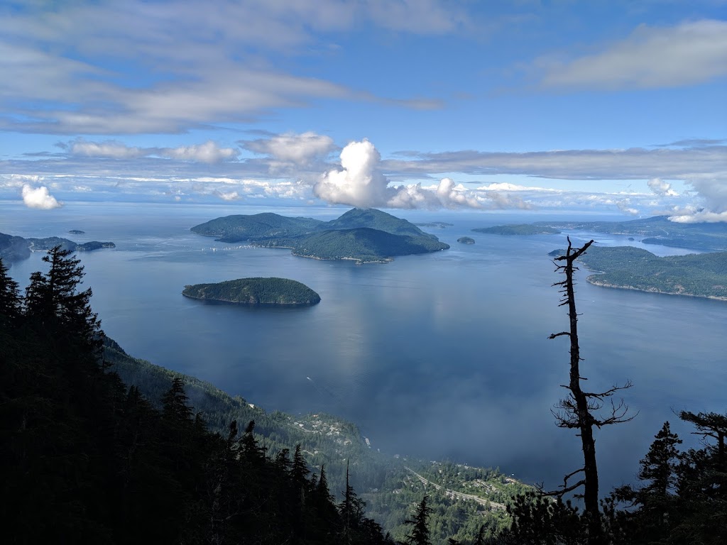
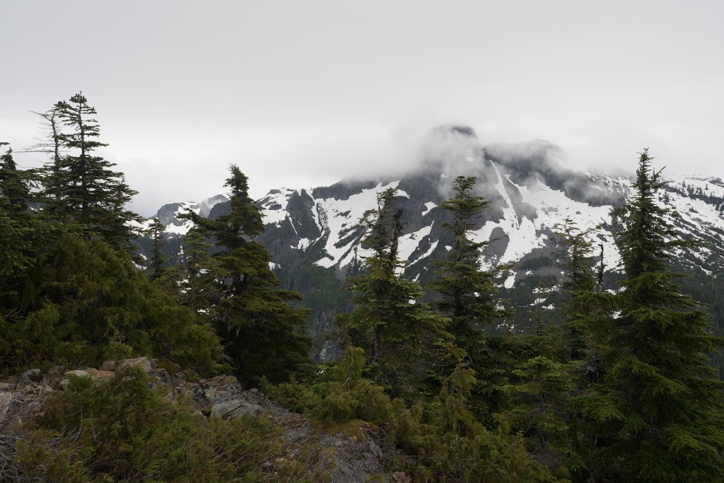
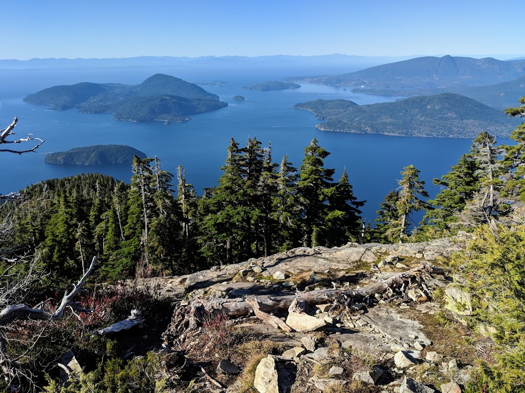
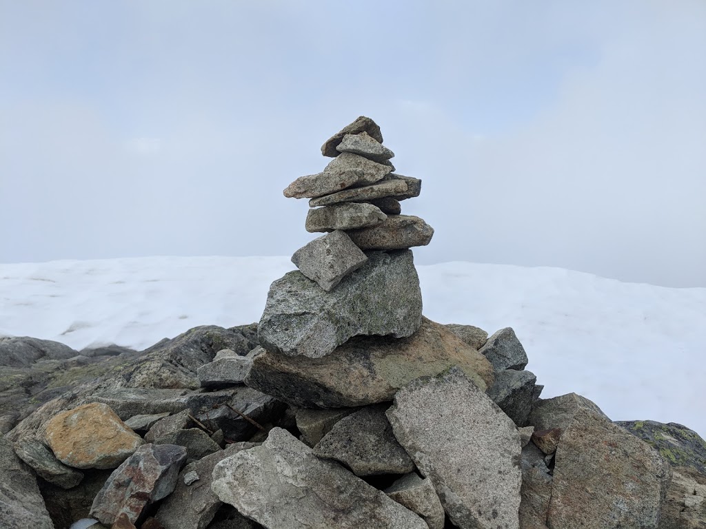
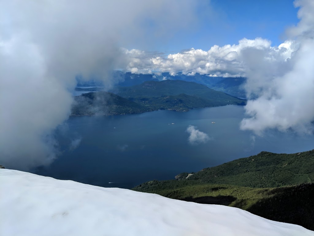
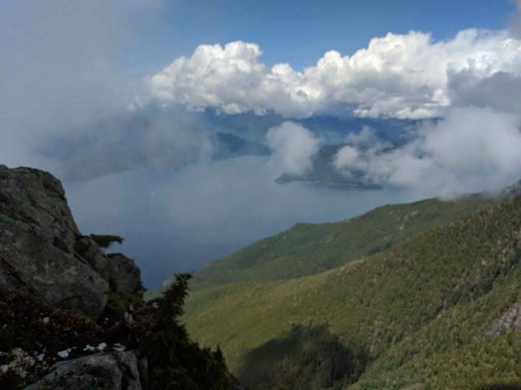
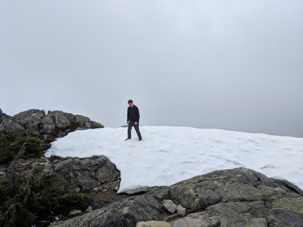
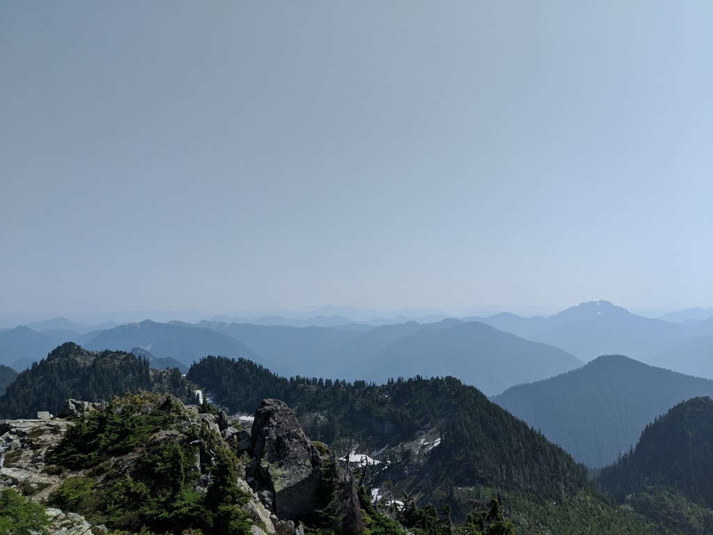
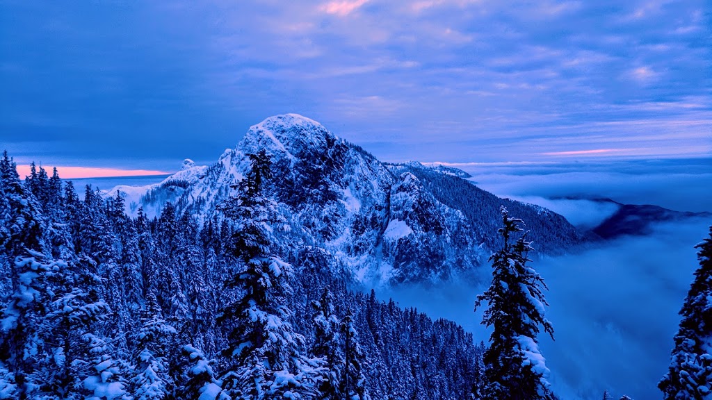
(June 18, 2018, 7:51 pm)The summit of Mount Harvey offers amazing views of Lions, Brunswick mountain and Howe Sound on a sunny day. The hike is about 12 km with a 1400 m elevation gain. Snow remains on the ridge until July, but the ridge is not steep. The round trip takes about 7 hours.
Photos of Mount Harvey
